Isle Royal GPS Data
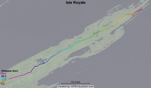
Earlier this month some friends and I hiked across Isle Royale in lake Superior. Joe kept his GPS running and produced good track points in an odd export format from his Mac software called "Topo". I created a quick conversion script to produce this GPS format data which can be used with the GPS visualizer website to produce images like this:
Read other posts